
Using drones to support reforestation and biodiversity population
Friday 15 August 2025
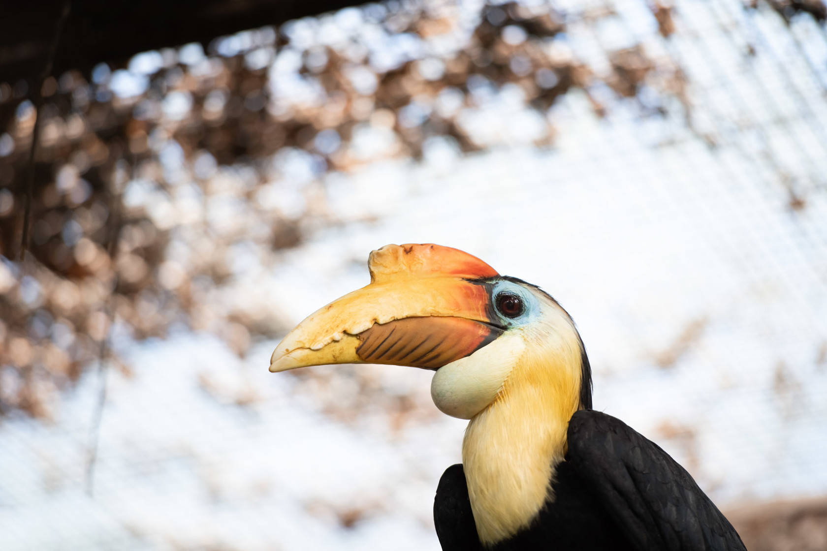
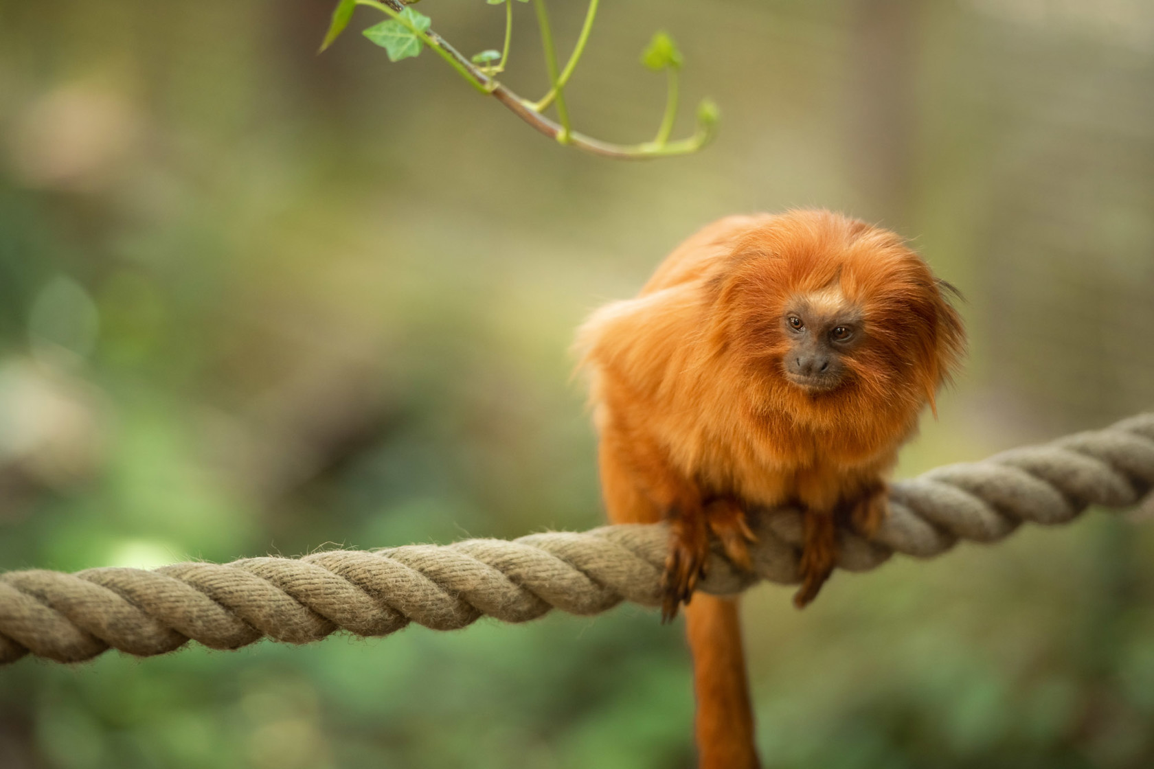
Andriatsitohaina Rakotozoely and Fihobiana Valisoa Hasifisainana from Durrell’s team in Madagascar share how they are using cutting edge technology to advance conservation efforts in Madagascar and Scotland.
Many people often associate drones with beautiful aerial photography and video footage. But did you know that drones also play an important role with reforestation?
We are part of the Durrell team in Madagascar, and we specialise in integrating drone and AI technologies into conservation work. This includes undertaking ecological monitoring, drone operations, and data analysis to support habitat restoration and biodiversity protection.

So, what does a normal day look like for us? Often our day includes planning and conducting drone flights for ecological surveys, processing spatial and LiDAR data (an active remote sensing system that can be used to measure vegetation height across wide areas), and developing tools to monitor forest regeneration and species habitats.
We often alternate between fieldwork; capturing high-resolution imagery and office-based analysis using GIS (geographic information systems) and machine learning tools. This work feeds directly into Durrell’s broader conservation goals by providing accurate, timely data to guide decision-making; whether it’s tracking reforestation progress or identifying young trees, our role ensures that conservation actions are backed by science and evidence. We also work closely with local stakeholders to help them understand more about the benefits of using these technologies, as well as the safest and most sustainable ways to do this.

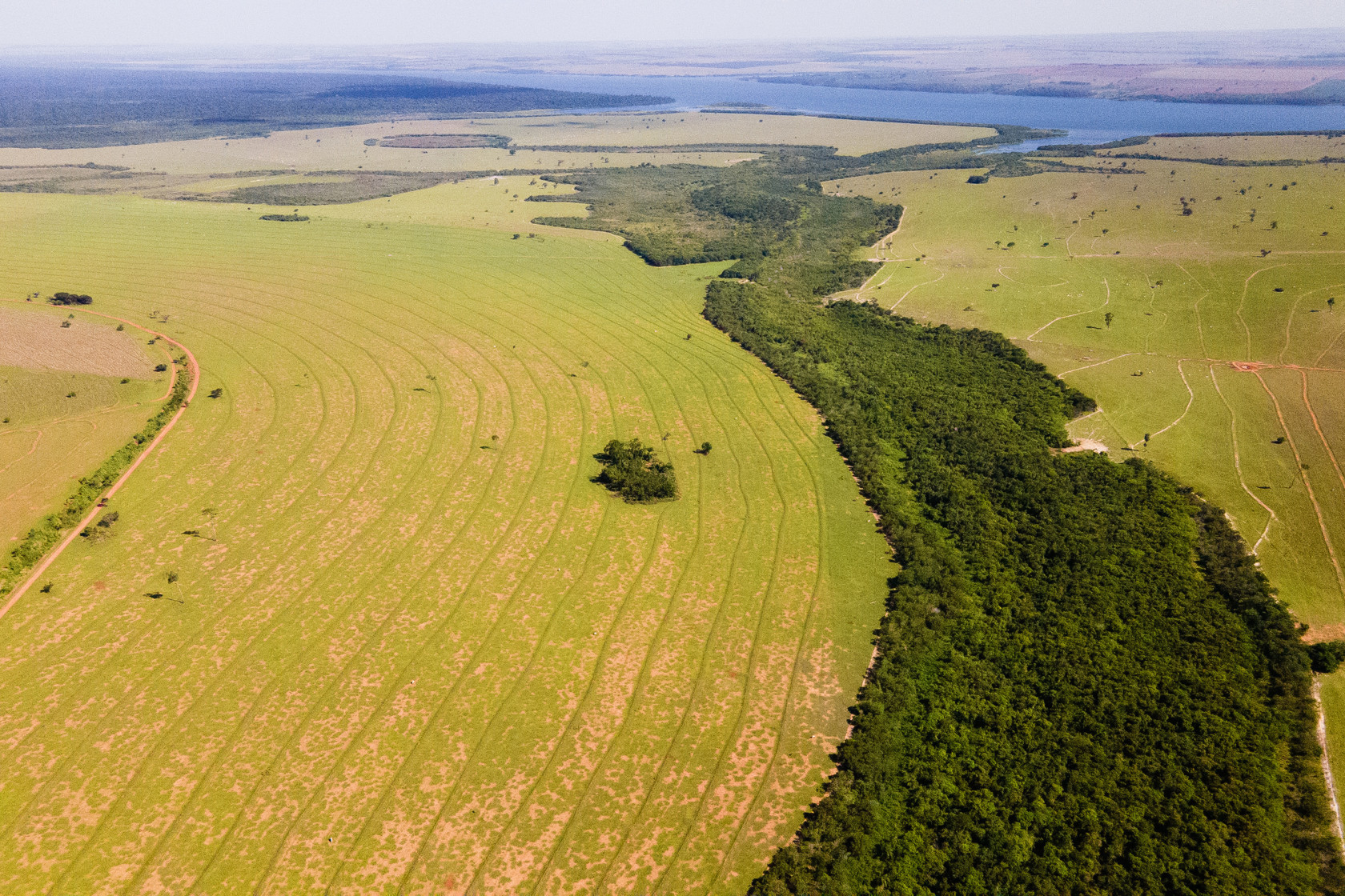
Projects we have worked on have included supporting the Ministry of Environment in Madagascar to restore mangroves forests by drone. Funded by UK Research and Innovation’s Global Challenges Research Fund through Liverpool John Moores University and now supported by a Darwin Initiative Innovation grant (UK DEFRA), these custom-built heavy-lifting drones are programmed to shoot seeds into the ground at defined heights and with specific distances between each seed. This cutting-edge technology improves seed dispersal, covering more ground and enabling tree-planting in remote areas.
In May this year, we also had the opportunity to travel to Liverpool in the UK, for a month-long advanced training program with Coptrz, a professional drone training centre, with the aim of strengthening our technical expertise in drone-based ecological monitoring even further. During our visit, we worked closely with the expert instructors at Coptrz, who provided in-depth training on drone operations and data workflows.

We also collaborated with Professor Serge Wich and Professor Steven Longmore from Liverpool John Moores University (LJMU), who guided us through the data processing and helped us build a semi-automated pipeline for young tree detection. Their expertise in conservation technology and remote sensing was instrumental in refining our methods and will significantly enhance our ability to monitor reforestation efforts in Madagascar. Whilst we were in the UK, we also had the chance to visit Durrell’s newest rewilding site, Dalnacardoch in Scotland. Here we got to put our new skills into practice, by undertaking mapping of the estate, which will help our team understand even further the current landscape of the site.
Applying our new skills during the mapping mission in Scotland and seeing the results come to life was incredibly rewarding. It demonstrated the power of combining field expertise with cutting-edge technology and academic collaboration.